

Map reconstruction from camera imaging systems generally relies on features to build a 3D
representation of points in the imaged domain. There are multiple factors that affect the quality and number of feature detection. Areas inside the map can be poorly mapped or completely missed due to occlusions or disturbances experienced during data collection. Further, the number and quality of detected features can depend on the viewing angle, area being imaged and camera properties. Ensuring high-quality map reconstruction is therefore extremely challenging when the vehicle collecting the data is limited to pre planned trajectories. Overcoming this requires an on-line system that can determine regions of poor reconstruction quality and generate new data collection paths to improve this. Although not a new concept (Scott et al. 2003), the concept of planning subsequent views based on reconstruction quality heavily depends on the mapping framework, platform, and sensors being used. For example, iterative view-point sampling approaches have been investigated in (Bircher et al. 2015, 2016) towards optimising the path for full 3D coverage of structures, though sensor-based reconstruction uncertainty is not considered and their experimental applications have been limited to multicopters.
Challenges
- Quantifying information/uncertainty for offline photogrammetry reconstruction
- Active view planning for offline reconstruction
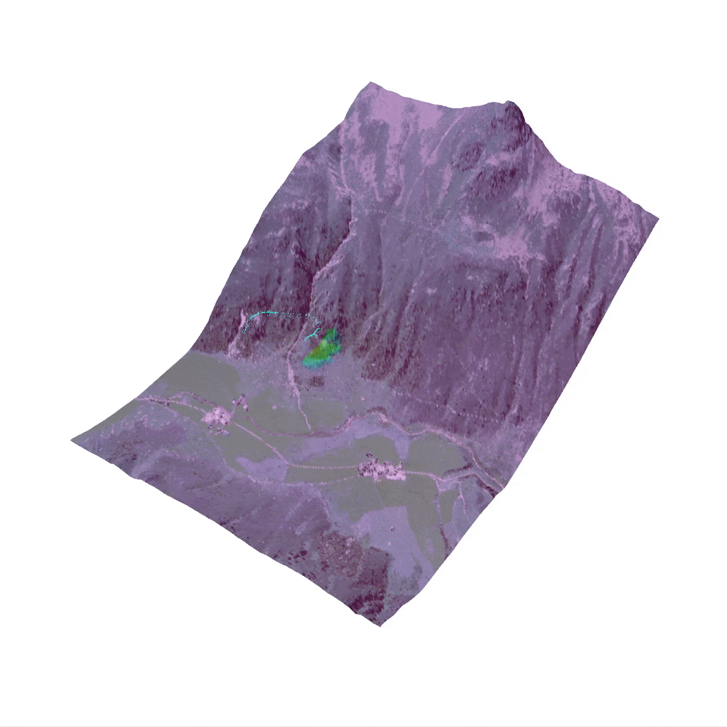
Our research will extend previous approaches developed at ASL and other research groups for view planning for map reconstruction (Popovic et al. 2020, Schmid et al. 2020) to focus on quality metrics with NIR imagery for on-line mapping of alpine terrain.
Publications
[1] Lim, Jaeyoung, Nicholas Lawrance, Florian Achermann, Thomas Stastny, Rik Bähnemann, and Roland Siegwart. “Fisher Information Based Active Planning for Aerial Photogrammetry.” In 2023 IEEE International Conference on Robotics and Automation (ICRA), pp. 1249-1255. IEEE, 2023.