
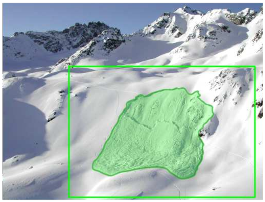
For AVALMAPPER, one of the most important metrics for data quality is to ensure that data is collected from potential avalanche release areas (PRAs). While the initial global plan will target regions likely to contain PRAs, the areas themselves may not be possible to remotely identify and localize before flight, and therefore need to be identified in flight.
Therefore a vehicle capable of detecting the avalanche release areas can enable discovering avalanches so that it can be further used as a target mapping area for the active mapping planner.
Challenges
- Visual detection of avalanche affected areas is hard with the low contrast and high reflectance of snow covered terrain
- View planning for covering for classifying avalanche covered areas
Publications
[1] Hafner, Elisabeth D., et al. “Automated avalanche mapping from SPOT 6/7 satellite imagery with deep learning: results, evaluation, potential and limitations.” The Cryosphere 16.9 (2022): 3517-3530. pdf